Ring of Fire
An interactive canvas-based scrollytelling story mapping 18,139 Philippine earthquakes from 2024 — from raw scatter to Mercator map, with animated transitions between five data views.
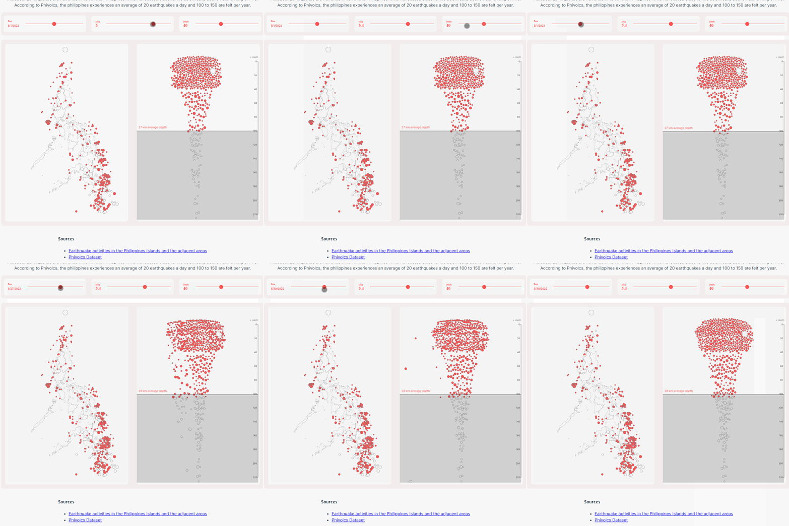
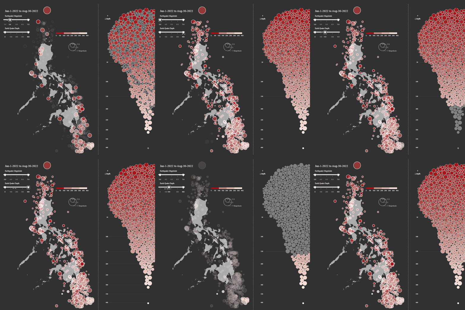
The Philippines sits on one of the most seismically active arcs on earth. In 2024 alone, 18,139 earthquakes were recorded — roughly 50 a day. Most go unfelt. Some reshape coastlines. This piece makes that relentless drumbeat of tectonic activity visible.
The challenge was scale: 18,000 points is too many for SVG without noticeable lag. Canvas handles it cleanly. Five scrollytelling steps move through five different framings of the same dataset — from raw scatter by magnitude, to geographic Mercator projection — each revealing a different dimension of the story.

Technical Approach
18,139 points in SVG would stutter. The solution is a Canvas 2D context with DPR scaling, typed array buffers (Float32Array for coordinates, Uint8ClampedArray for ImageData), and GSAP tweens running at 60fps. A seeded LCG random number generator keeps jitter stable across resizes. D3’s geoMercator handles the final geographic projection.
Highlights
- Canvas 2D with DPR scaling — crisp rendering at any resolution
- Five layout states: ring, grid, sorted grid, magnitude grid, Mercator map
- GSAP time-based tweens interpolate all 18K points per frame
- Seeded jitter via
d3.randomLcg(42)— positions stay stable on resize - 5.7MB original JSON compacted to 367KB using array-of-arrays format